Upcoming
Oblique Laser Scans Helicopter laser scanning dataset

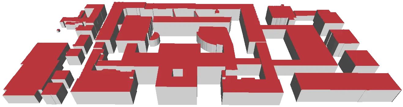
Semantic Building Models: Level of Detail 1
LOD1 model of TUM main campus is reconstructed based on software from TU-Delft 3dfier It use the ALS(airborne laser scanning) point cloud and buildings’ footprint.
- ALS can be downloaded from Bavarian State Mapping Agency via GeoportalBayern
- Buildings’ footprint can be converted from LoD2 model from GeoportalBayern by using FME