Streetspace Models
The Transportation module has been substantially revised for version 3.0 of CityGML. The Road2CityGML3 guideline (opens in a new tab) describes the new concepts and features in detail.
Road Network
The OpenDRIVE dataset for the TUM and its surroundings was converted to CityGML using the tool r:trån (opens in a new tab). The obtained CityGML 2.0 and 3.0 are available under this repository (opens in a new tab) and can be cloned with the following command:
git clone --depth 1 git@gitlab.lrz.de:tum-gis/tum2twin-datasets.git
cd tum2twin-datasets/citygml/road-network-datasets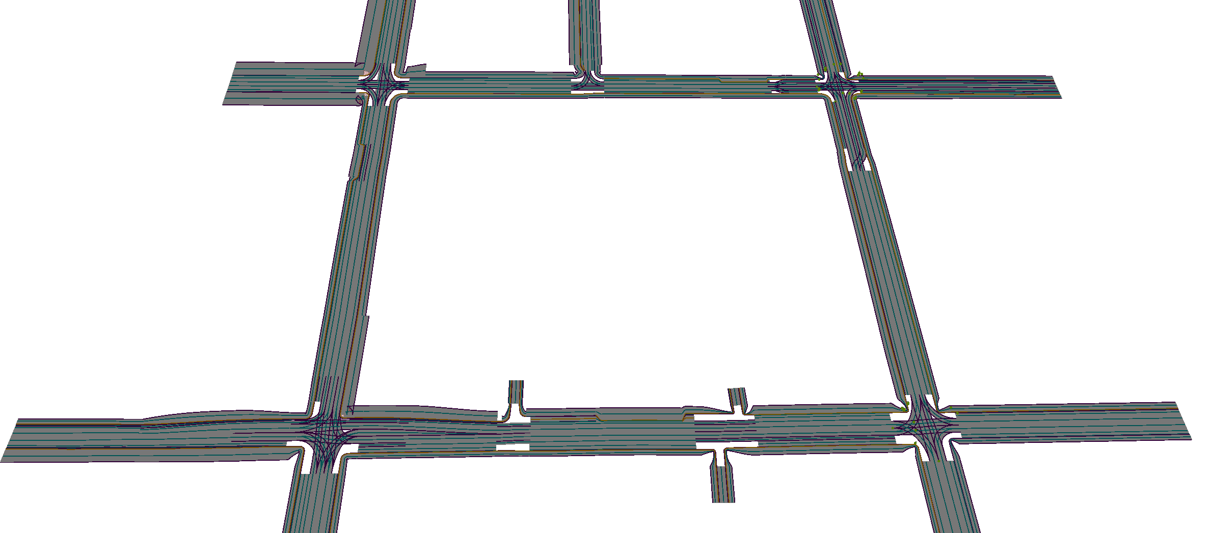
⚠️
The road network was modeled in 2D and therefore has a constant absolute height. Since the terrain around the TUM is fairly flat, this is sufficient for some applications, but not for all.