Semantic Vegetation Models
Tree Models for Arcisstraße
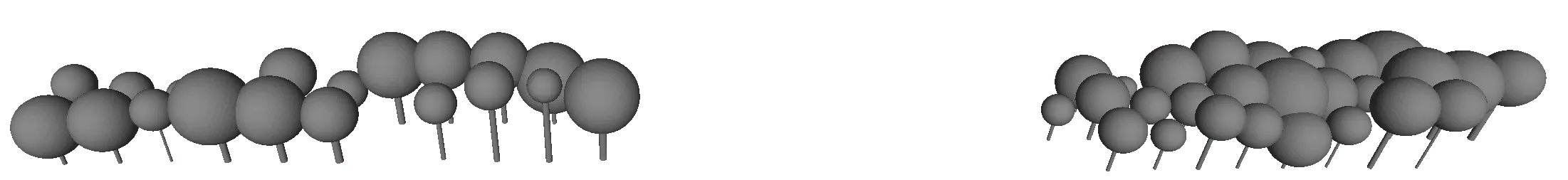
This dataset comprises tree models at the Arcisstraße collected by Sabine Zagst. The tree position were manually identified based on MLS point clouds and diameter measurements, as detailed in her Master Thesis.
The tree models are stored in the repository and can be obtained by running the following commands:
git clone --depth 1 git@gitlab.lrz.de:tum-gis/tum2twin-datasets.git
cd tum2twin-datasets/citygml/lod3-vegetation-datasets
Solitary Vegetation Models for Munich
The vegetation objects for entire Munich have been reconstructed using ALS point clouds and aerial imagery by Markus Münzinger. Alongside the publication that describes the reconstruction process in detail, his developed tool LiDAR-3D-Urban-Forest-Mapping is available as an open-source project.
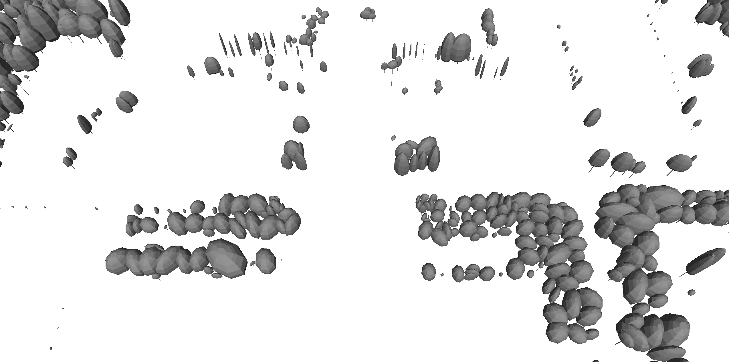
The solitary vegetation models are available from the IOER Research Data Centre for the years 2012 and 2022.
Registration is required to access the datasets and can be completed within approximately 30 seconds.
The CityGML datasets are provided as a ZIP archive titled semantic_3D_tree_models_munich_lidar.