Terrestrial Laser Scans
TUM-TLS-24
A terrestrial laser scanning campaign was carried out with a Leica P50 long range scanner on April 5th, 2024. It contains the outdoor area at the Arcisstraße and also an indoor loop.
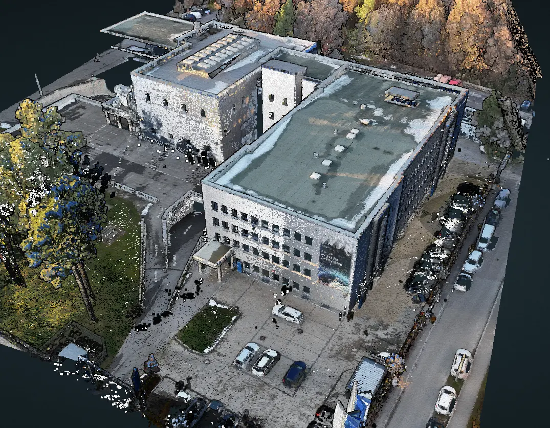
Colored point cloud of scanning station 29 streamed via envis.space
The point clouds are available for download as:
- subsampled point clouds for faster access and handling, or
- as full high-resolution point clouds,
- and as the complete dataset with metdata.
Please note that the TLS point clouds need to be offset by 0.7551 meters in the Z direction to be aligned with the other models.
This will be fixed for the next release.
TreeML-Data
TLS acquired in the stop-and-go manner. The primary focus is on trees (scans in winter, leaf-off) point clouds of individually labeled trees; The surroundings are also included, see more in the publication
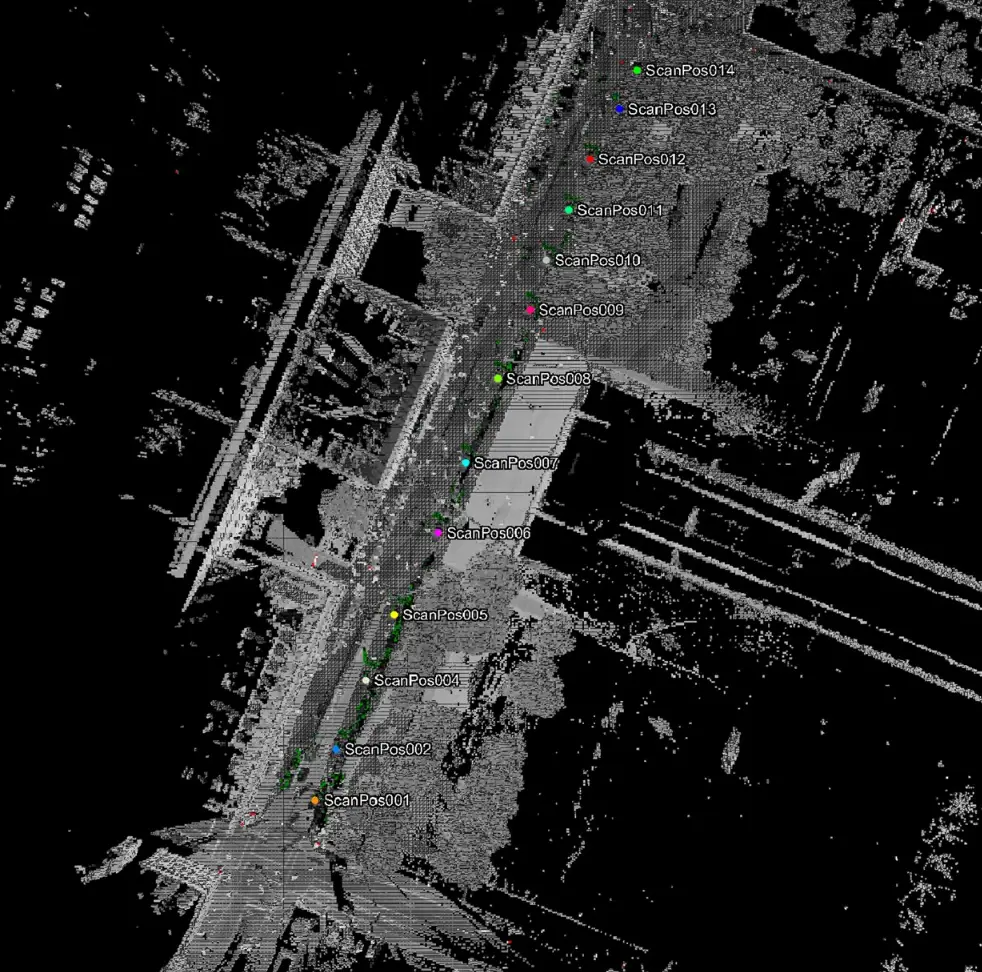
Stop and Go: Scan points overview
Download the data here
TUM Ottobrunn
The dataset does not stop at the TUM Downtown Campus - it goes beyond that - to the TUM Ottobrunn campus! We’re currently working on enlarging this dataset, but you can have a glimpse at the TLS below already:
The point clouds are available for download here you can also find the detailed specs here